La Palma, known as La Isla Bonita, is one of the greenest and steepest islands in the Canaries. In about 708 km², it packs a vast volcanic caldera, mountains rising to 2,426 metres, ancient laurel forest, black-sand beaches and some of the clearest skies on Earth — protected by law since 1988 to keep them dark for the observatories on its summit. In 2021 it also gained Spain's newest volcano, Tajogaite.
Three days is enough to see the essentials if you plan by area. This itinerary gives one day to the green north-east and the capital, one to the Caldera de Taburiente and the summit, and one to the volcanic south. You'll need a hire car: buses don't reach most of the places below at useful times, and the mountain roads are slow, so allow more time than your map suggests.
The Plan at a Glance
Santa Cruz and Los Tilos
The colonial capital, the laurel forest of Los Tilos and the natural pools of the north-east.
The Caldera and the Roque
Walk through the Caldera de Taburiente, then watch the sunset and stars from the summit.
The Volcanic South
The Tajogaite volcano, the craters and salt pans of Fuencaliente, and sunset in Puerto Naos.
East or West
Near the airport on the east coast, or in the sunnier west around Los Llanos.
Day 1: Santa Cruz, Los Tilos and the North-East
Morning: Santa Cruz de La Palma. La Palma Airport is about 15 minutes from the capital, one of the best-preserved colonial towns in the Canary Islands. Walk the Avenida Marítima to see the famous wooden balconies on the old houses facing the sea, then head inland to the Plaza de España, with the 16th-century church of El Salvador and the town hall. At the north end of town, the Barco de la Virgen, a full-size replica of a ship, houses the naval museum.
Midday: Los Tilos. Drive north to the Los Tilos laurel forest, the heart of the biosphere reserve declared in 1983 and later extended to the whole island. From the visitor centre, short trails lead into a dense, damp forest of laurel and ferns. Experienced hikers can instead do the famous Marcos y Cordero route: a taxi shuttle from the visitor centre (about €15 per person, from 9 am) takes you up to Casa del Monte, and you walk back down along a water channel through 13 tunnels, past the springs of Marcos y Cordero. It's about 11 km and 5 to 6.5 hours, with a headlamp and waterproofs essential — on that day, skip the afternoon below.
Afternoon: natural pools. Cool off in the Charco Azul, natural seawater pools at San Andrés y Sauces, or continue to the pools of La Fajana at Barlovento. Return to Santa Cruz for dinner along the seafront.
Day 2: The Caldera de Taburiente and the Roque de los Muchachos
Morning, option A: walk through the Caldera. The Caldera de Taburiente National Park is a huge volcanic cauldron about 8 km across, ringed by peaks above 2,000 metres. The classic walk is one way: park at the Barranco de las Angustias car park, near Los Llanos, and take one of the private taxis that run from there up to Los Brecitos in the morning (from 8:30 to 13:30 in summer and 9:00 to 12:00 in winter; parking at Los Brecitos is not allowed). From there, the path descends through pine forest to the campsite at Playa de Taburiente, passes the Cascada de Colores, stained orange by iron-rich water, and follows the riverbed of the Barranco de las Angustias back to your car. Carry all your water — the water at the campsite is untreated — and don't go if rain is forecast, as the ravine can flood. See our Caldera de Taburiente guide.
Morning, option B: La Cumbrecita. For a shorter visit, drive from the park's visitor centre in El Paso to the La Cumbrecita viewpoint, on the rim of the Caldera. Car access is only allowed with a pre-booked parking place, which you can reserve online or at the visitor centre. From the car park, easy walks lead to the viewpoints of Los Roques and Lomo de las Chozas.
Afternoon and evening: Roque de los Muchachos. Drive up to the island's highest point, at 2,426 metres, on the northern rim of the Caldera. The road climbs through pine forest and often above a sea of clouds, and the summit is home to one of the world's leading astronomical observatories, run by the Instituto de Astrofísica de Canarias. Stay for sunset, then for the stars: La Palma was the world's first Starlight Reserve, and on a moonless night the Milky Way is spectacular. It's cold at the top even in summer, so bring warm clothes. A guided tour adds telescopes and an expert — see our stargazing in La Palma guide.
Day 3: The Volcanic South
Morning: Tajogaite. On 19 September 2021, a new volcano opened on the Cumbre Vieja ridge. It erupted for 85 days, the longest eruption on record on the island, and its lava covered more than 1,000 hectares of homes, roads and banana plantations on the way to the sea. Today you can see the black cone of Tajogaite and its ash fields from public viewpoints such as Llanos del Jable, but the best way to get close is on a guided trek, which explains the eruption and the island's recovery.
Afternoon: Fuencaliente. Drive south along the volcanic ridge to Fuencaliente, at the southern tip of the island. The visitor centre at the San Antonio volcano has a path along the crater rim, with views down to the Teneguía volcano, which erupted in 1971. Below, by the lighthouse, the Salinas de Fuencaliente produce sea salt among the black lava, and the volcanic soils around the village grow La Palma's wines — the island has its own designation of origin, D.O. La Palma.
Evening: Puerto Naos. End the trip on the black-sand beach of Puerto Naos, on the sunny west coast, as the sun goes down over the Atlantic. The resort was closed for a long time after the eruption because of volcanic gases; it has gradually reopened, and since July 2026 swimming has also been allowed again across Playa Chica. Check the latest access information from the Cabildo before you go.
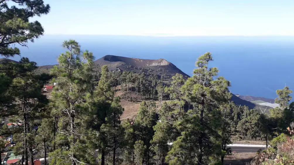
San Antonio and Teneguía Volcanoes
The volcanoes of the southern tip by 4x4 bus, without the driving.
Check Prices →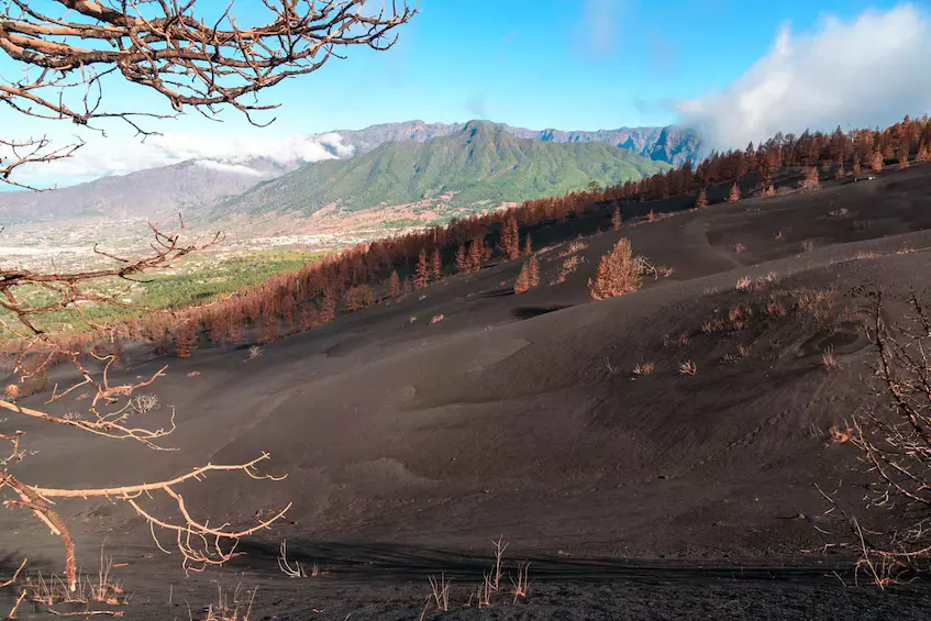
Tajogaite Volcano Guided Trek
An 8 km walk through the landscape of the 2021 eruption.
Check Prices →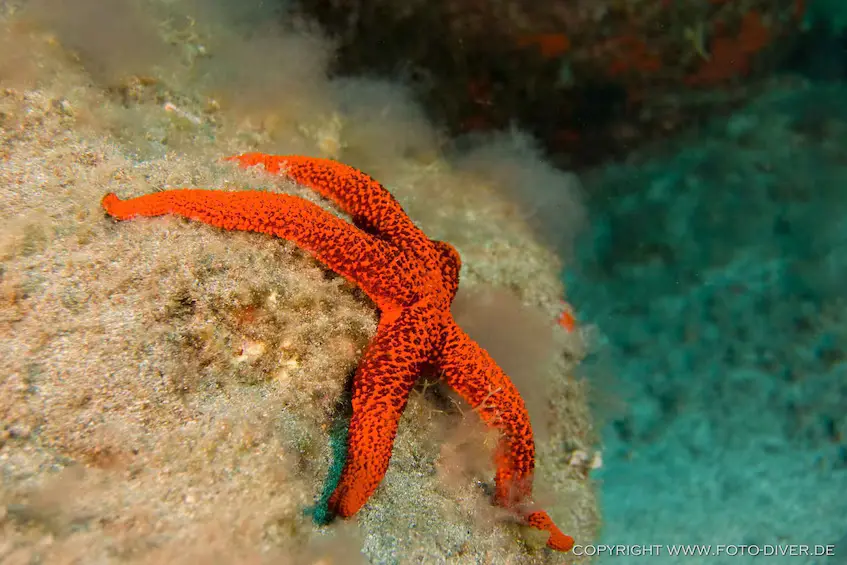
Atlantic Snorkelling Tour
About an hour in the water with a local guide, wetsuit and gear included.
Check Prices →Where to Stay for 3 Days
La Palma has two practical bases. The east coast, around Santa Cruz, Los Cancajos and Breña Baja, is close to the airport and convenient for day 1. The west, around Los Llanos de Aridane, El Paso, Tazacorte and Puerto Naos, is sunnier and closer to the Caldera and the south. On a short trip, choose one base and accept a few longer drives; the LP-3 road and its tunnel link the two sides in about 30–40 minutes.
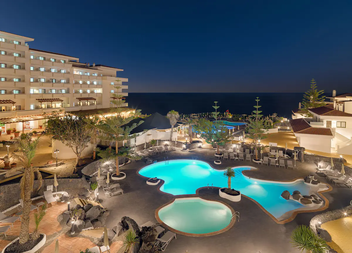
H10 Taburiente Playa
A resort hotel by the beach of Los Cancajos, minutes from the airport and Santa Cruz.
Check Prices →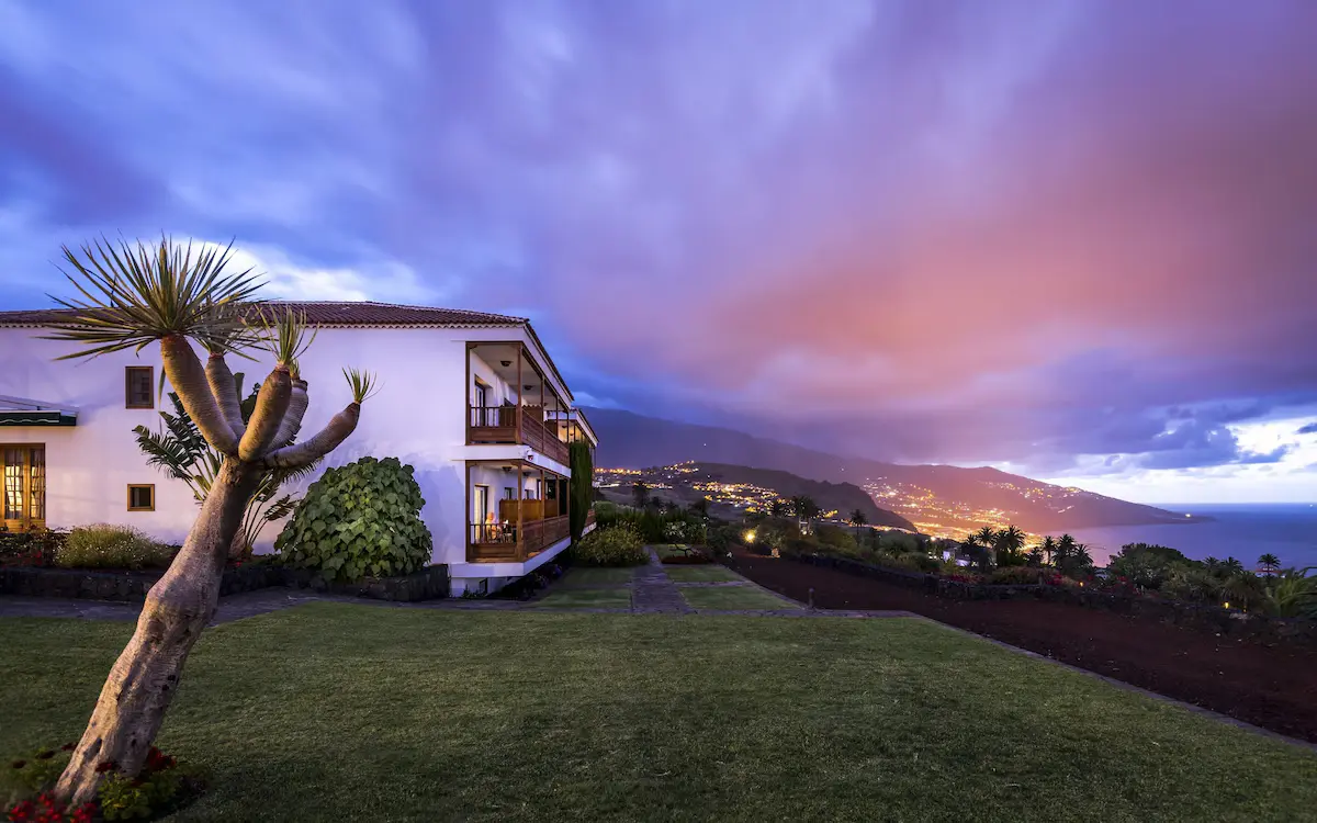
Parador de La Palma
A Canarian-style parador with gardens above the sea, close to the airport.
Check Prices →
Hotel Benahoare
A central hotel with a rooftop terrace, well placed for the Caldera and the south.
Check Prices →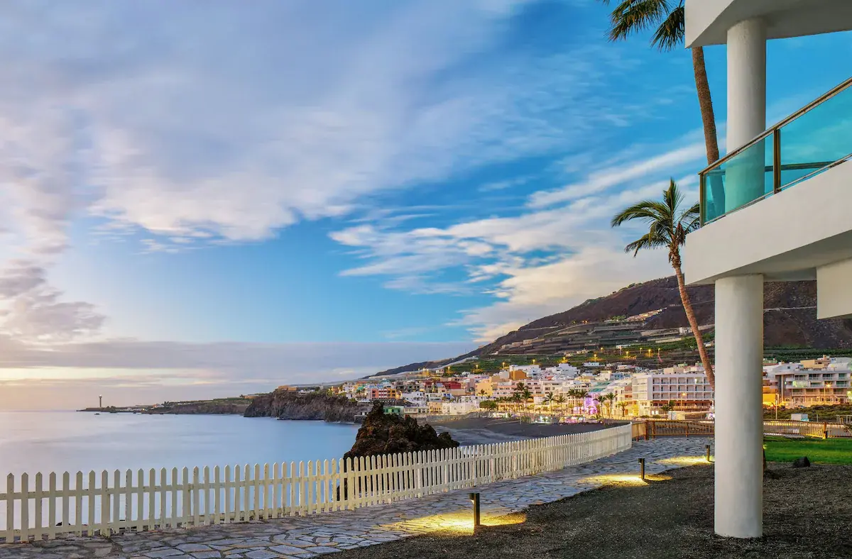
Meliá La Palma
Right by the black-sand beach of Puerto Naos, on the sunny west coast.
Check Prices →For a Special Occasion
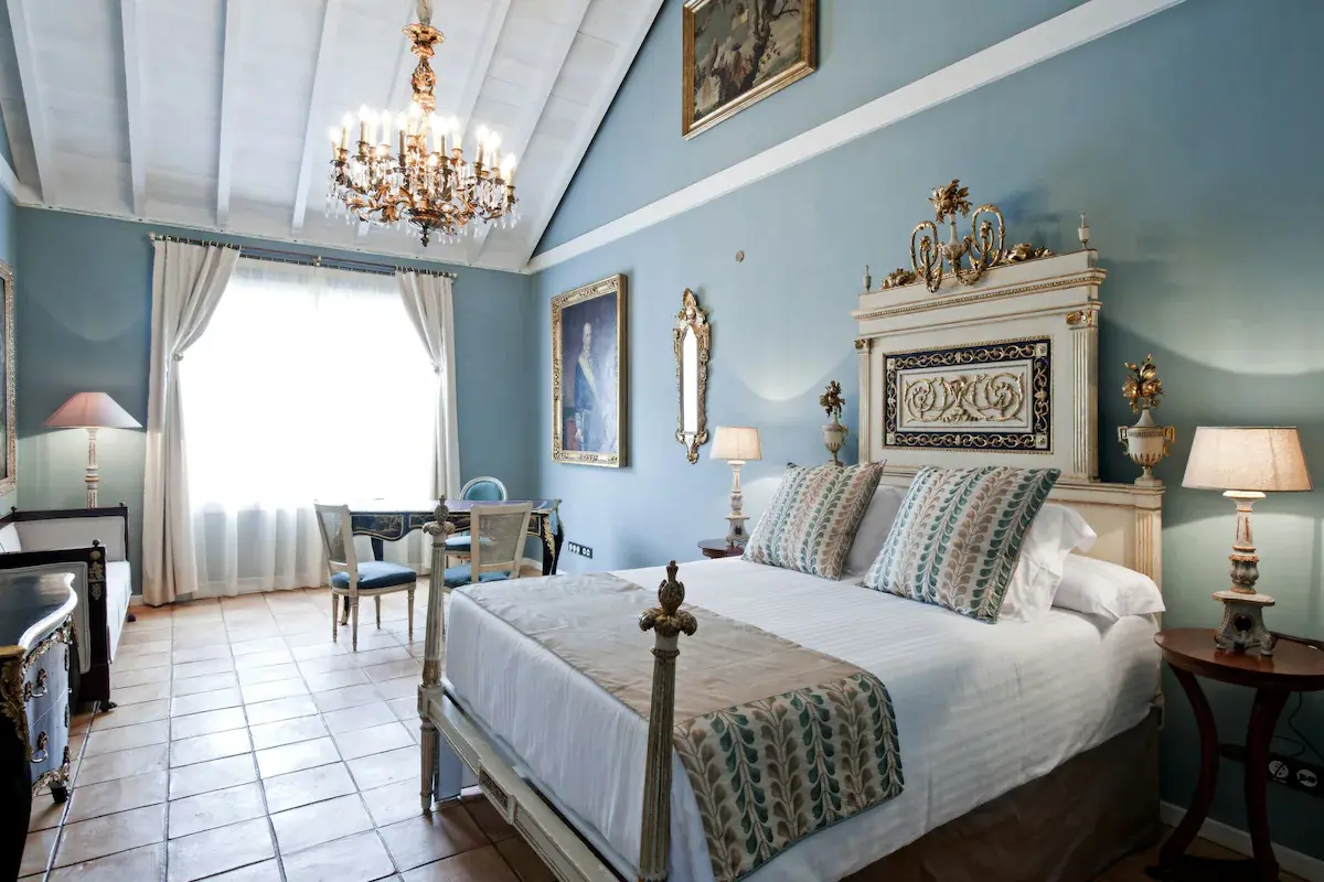
Hacienda de Abajo
An adults-only hotel in a historic estate among banana plantations, filled with antiques and art.
Check Prices →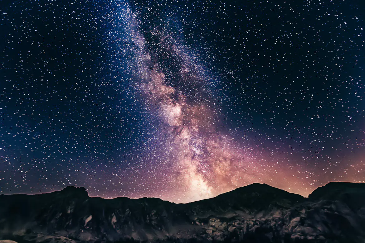
Private Stargazing Tour
A private night under the stars at the summit, with telescopes and a guide.
Check Prices →Practical Tips
Book Ahead
Parking at La Cumbrecita, the Tajogaite trek and stargazing tours have limited places. Book as soon as your dates are fixed.
Check the Weather
Clouds often cover the east and the Cumbre while the west is sunny. Avoid the Caldera ravine if rain is forecast.
Pack Layers
The summit of the Roque can be close to freezing at night, even when it's warm on the coast.
Mountain Roads
Roads are steep, narrow and winding. Allow extra time and don't plan to drive back from the summit late if you're tired.
Moon Phase
For stargazing, the days around the new moon give the darkest skies.
Stay Connected
Signal can drop in the mountains. A Yesim eSIM and offline maps keep you on track.
Frequently Asked Questions
Our Honest Verdict
Three days on La Palma won't be relaxing — the roads are slow and there's a lot to see — but they're enough for the island's three great experiences: the forests of the north-east, the Caldera and the stars from the summit, and the young volcanic landscapes of the south. With more time, add a second day in the Caldera, the Ruta de los Volcanes along the Cumbre Vieja, or simply a slow day on the west coast.
To plan the rest of your trip, see our La Palma travel guide and La Palma island guide.